After you have created a zone you can add more details to the policies or zones.
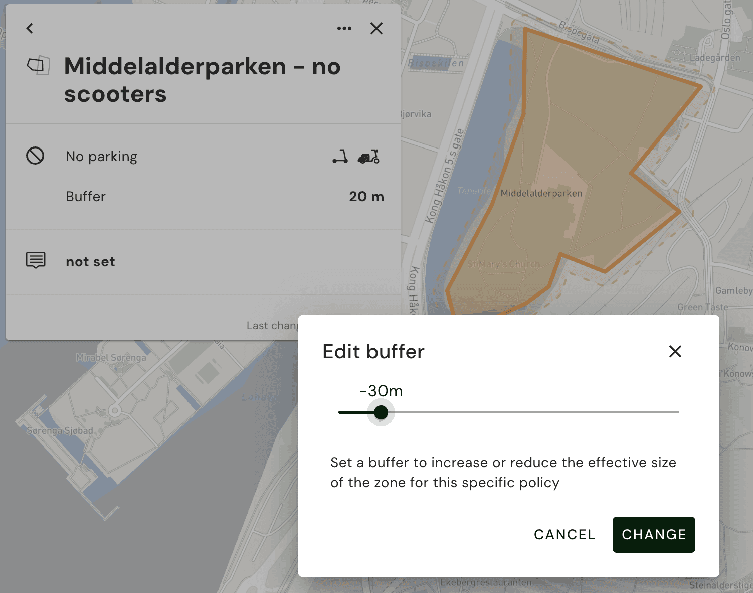
In the same way you can set a buffer for the zone. For various reasons you may want to change this to a positive or a negative buffer according to the local conditions. The zone (geography in MDS terms) that is being communicated to the operators is the polygon+buffer.
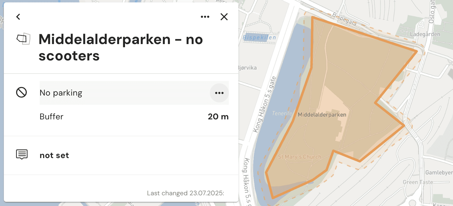
The zone polygon and buffer is visible when clicking on the zone.